
Anúncios
Throughout history, maps have been far more than simple navigation tools—they’ve served as powerful instruments of propaganda, territorial ambition, and political intrigue.
🗺️ The Ancient Art of Cartographic Conquest
When ancient civilizations first began sketching their surroundings on papyrus, clay tablets, and animal skins, they weren’t merely documenting geography. They were making statements about ownership, divine right, and cultural superiority. The earliest known world map, the Babylonian Mappa Mundi from the 6th century BCE, placed Babylon at the center of the universe—a deliberate symbolic choice that proclaimed the city’s importance to all who viewed it.
Anúncios
These early cartographers understood something fundamental: whoever controls the map controls the narrative. By positioning their territories at the heart of the known world, ancient mapmakers were essentially declaring their civilization as the focal point of human existence. This wasn’t accidental cartography; it was calculated political messaging wrapped in geographical information.
The Romans took this concept even further with their extensive road maps and territorial surveys. The Tabula Peutingeriana, a medieval copy of a Roman original, depicted the entire Roman Empire’s road network. But more than showing travelers how to get from one place to another, it demonstrated the reach and organizational prowess of Roman power. Every line on that map whispered a message: Rome is everywhere, Rome connects everything, Rome is inevitable.
Anúncios
Medieval Mappae Mundi: When Faith Drew the Borders
During the Middle Ages, European cartography took a decidedly theological turn. The famous Hereford Mappa Mundi and Ebstorf Map weren’t designed for practical navigation—they were spiritual encyclopedias that placed Jerusalem at the center of the world, with east oriented at the top where Paradise was believed to exist.
These maps reflected the medieval Christian worldview so completely that geography became secondary to religious symbolism. Monsters lurked at the edges, biblical events occupied prime real estate, and the physical world bent to accommodate theological truth. This wasn’t ignorance of actual geography—medieval scholars had access to more accurate Greek and Roman maps—it was a deliberate choice to prioritize spiritual truth over physical reality.
Islamic cartographers of the same period, like al-Idrisi, created remarkably accurate maps that challenged European conventions by placing south at the top. This wasn’t mere preference; it was a statement about perspective and cultural authority. Al-Idrisi’s 1154 Tabula Rogeriana demonstrated that the Islamic world possessed geographical knowledge that rivaled or exceeded European understanding, subtly asserting intellectual and cultural parity or superiority.
The Age of Exploration: Drawing Lines in Uncharted Waters
No period in history better illustrates the power of symbolic territorial claims than the Age of Exploration. When Pope Alexander VI drew a line down the Atlantic Ocean in 1493, dividing newly discovered lands between Spain and Portugal through the Treaty of Tordesillas, he was engaging in perhaps the most audacious act of cartographic imperialism ever attempted.
This papal line literally split the world between two Catholic powers, completely disregarding the millions of people already living in those territories. The line existed only on paper, yet it shaped colonial policy, sparked conflicts, and determined which languages and cultures would dominate in the Americas for centuries to come. Brazil speaks Portuguese today largely because of where that arbitrary line was drawn.
European explorers routinely planted flags and claimed territories for their monarchs, transforming symbolic gestures into legal justifications for colonization. The act of naming—renaming, really—was equally powerful. Indigenous place names disappeared from maps, replaced with European appellations that erased millennia of human history and connection to the land.
Cartographic Weapons of Colonial Expansion
Colonial powers wielded maps as weapons of legitimization. By publishing detailed maps of “newly discovered” territories, European nations created paper trails of ownership that could be referenced in diplomatic negotiations. The very act of surveying and mapping a region became synonymous with claiming it.
The blank spaces on 18th and 19th-century maps—those areas marked “unexplored” or filled with speculative geography—weren’t truly empty. They were home to countless communities with their own geographical knowledge. But by rendering these spaces as unknown on European maps, cartographers effectively declared them available for the taking. Terra incognita became terra nullius in the colonial imagination.
🎯 The Power of Projection: How Map Design Shapes Perception
Every map projection tells a story, and every story serves someone’s interests. The Mercator projection, created in 1569 for maritime navigation, has dominated Western cartography for centuries despite its dramatic size distortions. Greenland appears larger than Africa on Mercator maps, though Africa is actually fourteen times bigger.
This wasn’t initially political, but it became so when the Mercator projection remained the standard for classroom wall maps throughout the colonial and post-colonial periods. Students worldwide grew up seeing Europe and North America grossly enlarged compared to equatorial regions, subtly reinforcing notions of Western prominence and importance.
The Peters projection, introduced in 1974, attempted to correct these distortions by accurately representing the relative sizes of landmasses. However, it distorted shapes instead, sparking the “map wars” among cartographers. What seemed like a technical debate was actually deeply political: whose vision of the world should become the accepted standard?
Centering and Marginalizing Through Cartographic Choice
Where you place the center of a world map sends a powerful message. European and American maps traditionally place the Atlantic Ocean at the center, splitting Asia awkwardly across both edges. This Atlantic-centric view reinforces a Western-dominated global narrative.
Asian countries often produce maps centered on the Pacific Ocean, which places Asia prominently in the middle and splits the Americas instead. Australian maps sometimes invert the traditional orientation, placing south at the top and challenging the arbitrary convention that north should be “up.” Each choice reflects and reinforces a particular worldview.
Border Disputes: When Lines on Maps Spark Real-World Conflicts
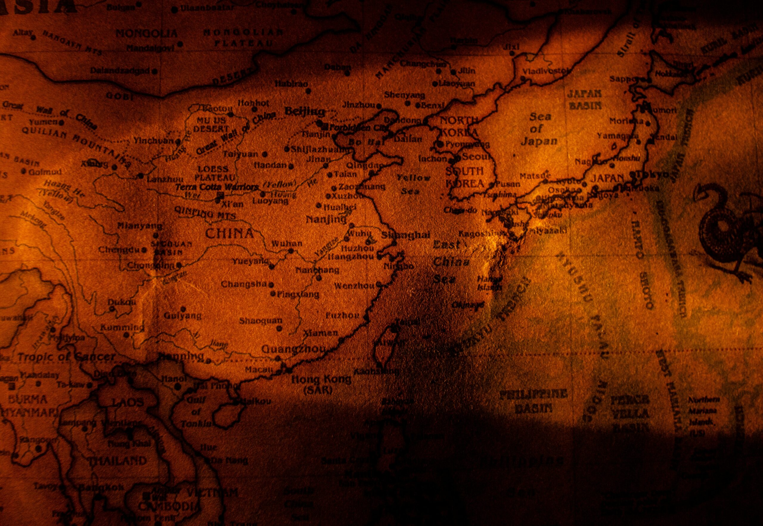
The Kashmir region, divided among India, Pakistan, and China, appears differently on maps published in each country. Indian maps show all of Kashmir as Indian territory; Pakistani maps claim substantial portions for Pakistan; Chinese maps incorporate Aksai Chin. These aren’t cartographic errors—they’re official state positions rendered in geographical form.
Travelers have been detained at borders for carrying maps that show disputed territories “incorrectly” from the perspective of the country they’re entering. The simple act of depicting a border in a particular location can be treated as a political statement, even an act of hostility.
The South China Sea disputes involve multiple nations claiming overlapping maritime territories. China’s “nine-dash line” appears on Chinese maps, asserting claims that international courts have rejected. Yet the line continues to appear, serving domestic political purposes and maintaining the claim in the public consciousness, regardless of legal rulings.
The Falklands/Malvinas: A Name That Reveals Your Allegiance
Even what you call a place on a map can be politically charged. The islands in the South Atlantic are labeled “Falkland Islands” on British maps and “Islas Malvinas” on Argentine maps. International publications must carefully choose which name to use—or awkwardly include both—knowing that this seemingly simple decision communicates their position on sovereignty.
Similar naming disputes affect the Sea of Japan/East Sea, the Persian Gulf/Arabian Gulf, and countless other geographical features worldwide. These aren’t trivial semantic debates; they’re battles over historical legitimacy and contemporary political authority.
🌍 Modern Digital Mapping: New Platforms, Old Power Dynamics
The digital mapping revolution hasn’t eliminated cartographic politics—it’s intensified them. When you search for a disputed territory on Google Maps, the borders you see depend on where you’re accessing the service from. Google shows different borders to users in different countries, essentially creating customized geopolitical realities for different audiences.
This approach attempts to avoid legal complications in countries with strict positions on territorial claims, but it also means that objective geographical reality has been replaced by context-dependent depictions. We’ve entered an era where the map you see literally depends on where you’re standing, creating parallel cartographic universes that rarely intersect.
Crimea appears as part of Russia on maps viewed from Russian IP addresses but as part of Ukraine (or disputed territory) when accessed from most other countries. This fragmentation of cartographic truth raises philosophical questions about whether objective geographical representation is even possible in our politically divided world.
Satellite Imagery and the Illusion of Objectivity
Satellite-based mapping platforms like Google Earth seem to offer unfiltered, objective views of the planet. But decisions about resolution, update frequency, and what to blur or obscure remain deeply political. Military installations are often blurred on commercial satellite imagery, and some countries negotiate to have sensitive areas obscured or shown at lower resolution.
Even the seemingly neutral act of providing universal access to geographical information has political implications. When Google launched Map Maker, allowing users to contribute local geographical knowledge, it democratized cartography—but it also created new arenas for territorial disputes to play out, with competing users editing borders and place names to reflect their preferred political realities.
Symbolic Claims Beyond Earth: Mapping the Cosmic Frontier
Humanity’s cartographic ambitions have expanded beyond Earth. When nations plant flags on the Moon or name features on Mars, they’re extending the historical tradition of symbolic territorial claims into space. The 1967 Outer Space Treaty prohibits national appropriation of celestial bodies, but the impulse to mark, name, and claim persists.
The International Astronomical Union officially names planetary features, but this authority is soft power rather than hard law. China’s Chang’e lunar missions have resulted in Chinese names for lunar features, while NASA missions have created their own nomenclature. As space exploration intensifies, cartographic politics will inevitably follow human expansion.
Asteroid mining companies already speak of claiming particular near-Earth asteroids, though international law remains unclear on such claims. The maps of potential mining sites being created today may become tomorrow’s contested territories, with disputes resolved through whatever legal frameworks emerge—or fail to emerge—in the coming decades.
📊 The Psychology of Cartographic Authority
Maps possess extraordinary psychological power because they appear objective and scientific. When we look at a map, we tend to see truth rather than interpretation, fact rather than argument. This perceived objectivity makes maps exceptionally effective vehicles for advancing political claims.
Cognitive research shows that people remember information better when it’s presented spatially. By encoding territorial claims in map form, governments and organizations ensure that their preferred version of geographical reality becomes embedded in viewers’ memories. The map becomes the territory in our minds, even when it misrepresents the situation on the ground.
Children who grow up seeing particular borders on classroom maps internalize those borders as natural and inevitable. Decades later, even when presented with evidence that those borders were arbitrary or imposed through violence, people struggle to reimagine alternative arrangements because the original map created such powerful mental frameworks.
Counter-Mapping: Resistance Through Cartography
Indigenous groups and marginalized communities have increasingly embraced “counter-mapping” as a tool of resistance and cultural survival. By creating their own maps that reflect indigenous place names, traditional territories, and culturally significant sites, these communities challenge official cartographies that ignore or erase their presence.
Counter-maps serve multiple purposes: they document traditional knowledge before it’s lost, they provide evidence for land claims and legal challenges, and they assert cultural sovereignty. When the Inuit create maps showing traditional hunting routes and seasonal migration patterns, they’re not just preserving heritage—they’re making political statements about who has the right to define and use those territories.
Environmental activists use counter-mapping to document destruction that official maps ignore, creating “toxic tours” and pollution maps that reveal industrial damage invisible on conventional maps. These alternative cartographies challenge corporate and government narratives by literally showing different pictures of the same geographical spaces.
🎭 The Future of Symbolic Territorial Claims
As climate change redraws coastlines and melts Arctic ice, new cartographic battles are emerging. The Northwest Passage, long frozen and impassable, is becoming a viable shipping route, sparking disputes over whether it’s Canadian territorial waters or international passage. Maps will play crucial roles in these disputes, with different nations publishing competing versions of maritime boundaries.
Virtual and augmented reality technologies are creating entirely new types of maps that layer digital information over physical space. These technologies enable new forms of territorial claims—not over physical land, but over the digital information associated with locations. Who controls what you see when you point your augmented reality device at a building or monument?
Blockchain-based property registries and decentralized mapping platforms promise to democratize cartography further, but they also create new possibilities for contested claims and parallel geographical realities. When anyone can publish a map asserting territorial claims, and those maps can exist permanently on distributed ledgers, the fragmentation of cartographic authority will intensify.
Beyond Lines: Understanding Maps as Cultural Artifacts
Every map reflects the priorities, biases, and worldview of its creators. There’s no such thing as a neutral map—only maps whose politics align so closely with our own assumptions that we mistake them for objective reality. Recognizing this doesn’t mean abandoning cartography; it means becoming more thoughtful and critical consumers of geographical information.
The lines on maps have divided families, justified wars, enabled genocides, and shaped the modern world’s political geography. But maps have also preserved cultural knowledge, enabled navigation and commerce, advanced scientific understanding, and helped communities advocate for their rights. The power of cartography is neither inherently good nor evil—it depends entirely on who’s drawing the lines and for what purposes.
As we move deeper into the 21st century, becoming cartographically literate means understanding not just how to read maps, but how to question them. When we see a border on a map, we should ask: Who drew this line? When? Under what circumstances? Who benefited from drawing it here rather than there? What alternatives existed?
The symbolic territorial claims marked on maps throughout history continue to shape our present and will influence our future. By unveiling the power dynamics behind these cartographic choices, we can better understand how geographical representation serves political purposes—and perhaps create more equitable ways of depicting our shared world. The map is never just the territory; it’s always someone’s vision of what the territory should mean, which territories matter, and whose claim to space deserves recognition. Understanding this transforms how we see every map we encounter, revealing the intrigue and intention behind every line. 🌏