
Anúncios
# HTML Article: GPS Application – Your Ultimate Guide to Modern Navigation
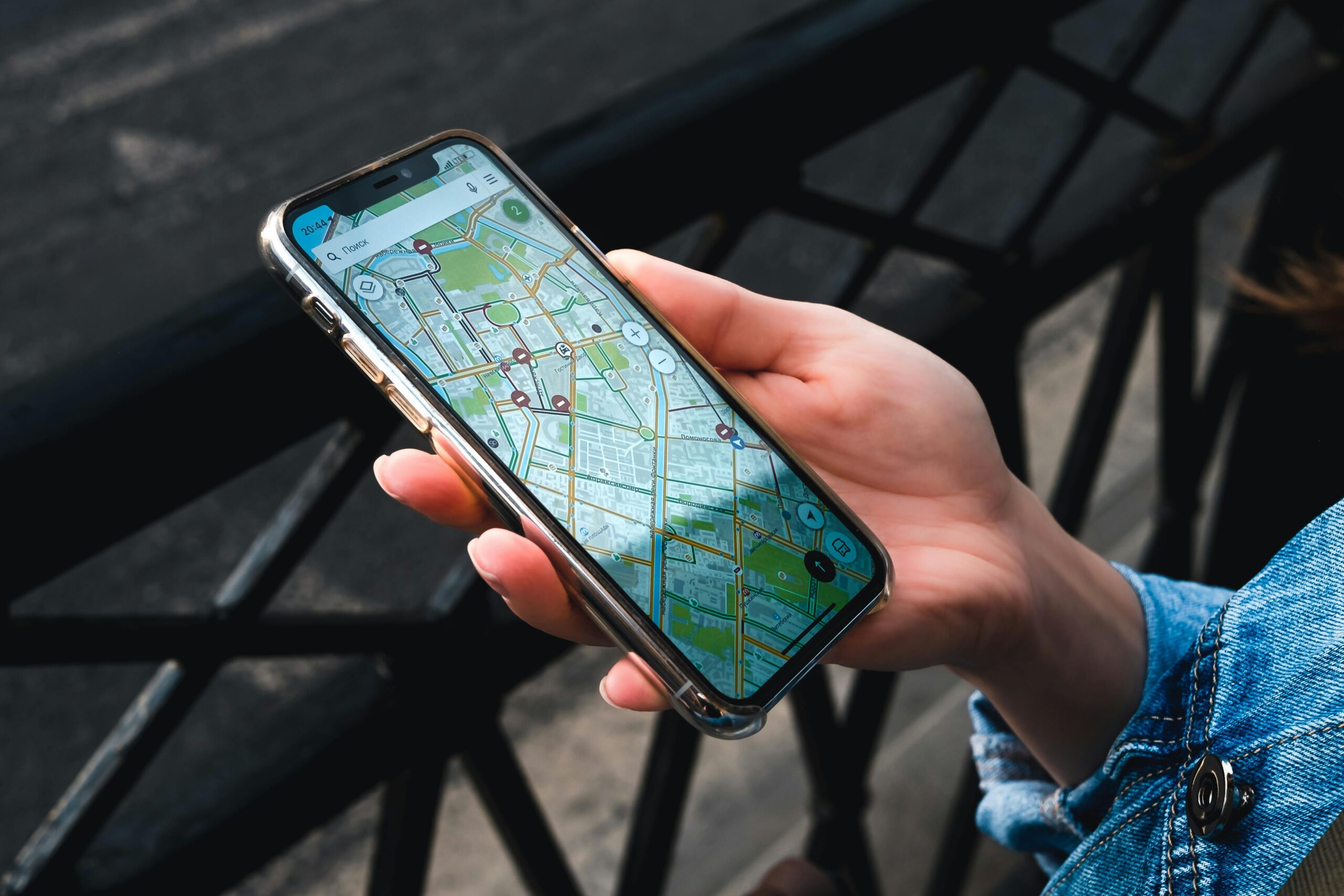
GPS applications have revolutionized how we navigate, transforming our smartphones into powerful tools that guide us through unfamiliar streets, remote trails, and complex urban landscapes with remarkable precision.
Anúncios
Whether you’re commuting to work, exploring a new city on vacation, or embarking on an outdoor adventure, GPS apps have become indispensable companions.


They offer real-time traffic updates, alternative routes, and even pedestrian directions that make getting lost a thing of the past.
Anúncios
The evolution from bulky standalone GPS devices to sleek smartphone applications represents one of technology’s most practical achievements.

Today’s GPS apps combine satellite positioning with crowd-sourced data, artificial intelligence, and cloud computing to deliver navigation experiences that are smarter, faster, and more reliable than ever before.
📍 Understanding How GPS Applications Work
GPS applications leverage a network of satellites orbiting Earth to pinpoint your exact location.
When you open a GPS app, your device communicates with at least four satellites to calculate your position through a process called trilateration.
This mathematical technique measures the time signals take to travel from satellites to your phone, determining your latitude, longitude, and altitude.
Modern GPS apps don’t rely solely on satellite signals.
They integrate multiple positioning technologies including Wi-Fi positioning, cellular tower triangulation, and accelerometer data to improve accuracy, especially in urban environments where tall buildings can obstruct satellite signals.
This hybrid approach ensures consistent performance whether you’re navigating downtown skyscrapers or rural highways.
The magic happens when GPS technology combines with mapping databases. These comprehensive digital maps contain millions of roads, points of interest, traffic patterns, and geographic features.
Advanced algorithms process this information alongside your real-time location to generate turn-by-turn directions, calculate estimated arrival times, and suggest optimal routes based on current conditions.
🚗 Top Features That Define Quality GPS Applications
The best GPS applications distinguish themselves through features that enhance user experience and navigation accuracy.
Real-time traffic monitoring stands among the most valuable capabilities, alerting drivers to congestion, accidents, and road closures while automatically recalculating routes to save time.
Voice-Guided Navigation
Hands-free operation through voice commands and audio directions ensures safer driving.
Premium GPS apps offer natural-sounding voice guidance in multiple languages, announcing street names clearly and providing advance warnings for complex maneuvers.
Some applications even adjust volume automatically based on ambient noise levels.
Offline Map Functionality
Downloadable maps enable navigation without internet connectivity, essential for international travelers avoiding roaming charges or adventurers exploring areas with limited cellular coverage.
Offline maps typically include complete routing capabilities, though real-time features like traffic updates naturally require an active connection.
Multi-Stop Route Planning
Planning trips with multiple destinations becomes effortless with advanced route optimization.
GPS apps can arrange stops in the most efficient order, estimate time at each location, and calculate total journey duration while accounting for traffic patterns at different times of day.
Lane Guidance and Junction Views
Visual aids showing which lane to occupy and realistic 3D representations of complex intersections eliminate confusion at critical decision points.
These features prove particularly valuable when navigating unfamiliar highway systems or multi-lane urban interchanges.
🌟 Popular GPS Applications and Their Unique Strengths
The GPS application market offers diverse options, each with specialized features catering to different user needs. Understanding these distinctions helps you choose the perfect navigation companion.
Google Maps dominates with comprehensive global coverage, seamless integration with other Google services, and crowd-sourced business information including reviews, photos, and operating hours.
Its Street View feature lets you preview destinations virtually, while public transit directions across thousands of cities make it ideal for urban explorers.
Waze excels in community-driven real-time updates, with users reporting accidents, police presence, road hazards, and fuel prices.
Its social approach to navigation creates a collaborative network where drivers help each other avoid delays and find the fastest routes during rush hour.
Apple Maps has evolved into a sophisticated option for iOS users, offering beautifully designed interfaces, privacy-focused features, and tight integration with Siri and other Apple ecosystem services.
Its Flyover feature provides stunning 3D city tours, while indoor maps help navigate airports and shopping centers.
Specialized applications serve niche audiences effectively. AllTrails focuses on hiking and outdoor recreation with detailed trail maps, elevation profiles, and user-generated trail reviews.
HERE WeGo offers extensive offline capabilities with full map downloads for entire countries, making it perfect for international travelers.
⚡ Maximizing Battery Life While Using GPS Apps
GPS navigation can drain smartphone batteries quickly, but smart usage strategies extend operating time significantly.
GPS receivers themselves consume moderate power, but the real culprits are bright displays, data connections, and processor-intensive map rendering.
Downloading maps for offline use reduces battery consumption by eliminating constant data transmission. Most GPS apps allow downloading regional or country-wide maps over Wi-Fi before trips.
This strategy also improves performance in areas with weak cellular signals where your phone would otherwise waste power searching for connectivity.
Adjusting screen brightness to comfortable minimum levels dramatically extends battery life.
Consider enabling automatic brightness or manually reducing it when navigating familiar areas where you need only occasional glances.
Some apps offer battery-saving modes that simplify graphics and reduce update frequency.
Closing unnecessary background applications frees processor resources and memory. GPS navigation demands significant computational power, and running multiple apps simultaneously accelerates battery depletion.
Before starting navigation, close social media, streaming services, and other resource-intensive applications.
🔒 Privacy Considerations with GPS Applications
Location-based services raise important privacy questions that conscious users should understand.
GPS applications collect extensive data about your movements, destinations, and travel patterns, information that companies may use for various purposes beyond navigation.
Reading privacy policies reveals how applications handle your location data.
Some services anonymize and aggregate information to improve traffic predictions and map accuracy, while others may use identifiable data for advertising targeting or share information with third parties.
Understanding these practices empowers informed decisions about which apps to trust.
Most GPS applications offer privacy controls allowing you to limit data collection.
Options typically include disabling location history, preventing timeline tracking, and restricting access when the app isn’t actively being used.
Configuring these settings appropriately balances functionality with privacy protection.
Location permissions deserve careful management. Smartphones allow granting GPS apps access only while using them, rather than continuous background tracking.
This approach maintains navigation functionality while preventing unnecessary monitoring when you’re not actively seeking directions.
🏞️ GPS Apps for Outdoor Adventures and Hiking
Outdoor enthusiasts require specialized GPS capabilities beyond standard road navigation.
Hiking-focused applications provide topographic maps showing terrain elevation, trail difficulty ratings, and waypoint marking for recording significant locations along routes.
Features like offline topo maps prove essential in wilderness areas lacking cellular coverage.
Applications designed for outdoor activities typically support downloading detailed topographic maps covering entire regions, ensuring reliable navigation far from civilization.
]These maps include contour lines, vegetation types, and water sources crucial for backcountry planning.
Track recording capabilities let adventurers document routes for future reference or sharing with others.
]GPS apps automatically log your path, elevation gain, distance traveled, and time spent, creating comprehensive records of outdoor experiences.
These saved tracks help repeat successful routes or share discoveries with the hiking community.
Safety features distinguish premium outdoor GPS applications.
SOS capabilities can transmit emergency location coordinates to rescue services, while trip-sharing functions let friends and family monitor your progress in real-time, providing peace of mind during solo adventures in remote areas.
🚴 GPS Applications for Cyclists and Runners
Athletes rely on GPS technology to track workouts, measure performance, and discover new routes.
Fitness-oriented GPS apps calculate pace, distance, elevation gain, and calories burned while offering features specifically designed for cycling and running enthusiasts.
Route discovery tools help athletes find popular paths, scenic loops, and challenging climbs near any location.
Many applications showcase community-created routes with difficulty ratings, surface type information, and photos, enabling cyclists and runners to explore confidently in unfamiliar areas.
Performance analytics transform raw GPS data into actionable insights. Apps display pace zones, heart rate correlations, segment times on specific stretches, and progress toward personal records.
This detailed feedback motivates improvement and helps athletes structure training effectively.
Social integration adds competitive motivation through leaderboards, challenges, and achievement sharing.
Cyclists and runners can compare segment times with others, join virtual races, and celebrate milestones with supportive communities that understand athletic dedication.
🌐 International Travel with GPS Applications
GPS apps simplify international exploration, but successful overseas use requires preparation.
Downloading offline maps before departure eliminates roaming charges and ensures functionality regardless of local connectivity. Most major GPS applications allow downloading entire countries or continents over Wi-Fi.
Language considerations matter when navigating foreign countries. Quality GPS apps support multiple interface languages and provide navigation instructions in your preferred language even when traveling abroad.
Some applications also display local place names in both native scripts and romanized versions for easier identification.
Understanding address formats and local navigation conventions prevents confusion. Different countries use varying systems for street numbering, postal codes, and city districts.
Researching these differences before trips and using GPS apps that account for local conventions ensures smoother navigation.
Rental car compatibility deserves attention when planning to drive internationally.
Some GPS applications offer specific features for rental vehicles, including fuel station locations, parking availability, and integration with car-sharing services popular in different regions.
💡 Future Innovations in GPS Technology
Augmented reality integration represents the next frontier for GPS applications.
AR navigation overlays directional arrows and points of interest directly onto live camera views, creating intuitive guidance that shows exactly where to turn.
This technology transforms smartphone screens into transparent navigation displays that blend digital information with the physical world.
Artificial intelligence will revolutionize route prediction and personalization.
Machine learning algorithms will understand individual preferences, anticipating favorite destinations, preferred route types, and optimal departure times based on historical patterns.
GPS apps will proactively suggest leaving early for appointments when unusual traffic is predicted.
Electric vehicle integration addresses unique navigation needs for battery-powered transportation.
Advanced GPS apps already incorporate charging station locations, predict range based on terrain and weather, and plan routes that optimize charging stops.
This functionality will expand as electric vehicle adoption accelerates.
Indoor positioning systems extend GPS capabilities into buildings where satellite signals can’t reach.
Using Wi-Fi, Bluetooth beacons, and magnetic field mapping, next-generation GPS apps will guide users through shopping malls, airports, hospitals, and office complexes with the same precision as outdoor navigation.
🎯 Choosing the Right GPS Application for Your Needs
Selecting the optimal GPS app depends on your specific use cases and priorities.
Casual users seeking basic navigation for driving and walking directions find general-purpose applications like Google Maps perfectly adequate.
These mainstream options offer comprehensive coverage, frequent updates, and user-friendly interfaces without requiring subscriptions.
Frequent travelers benefit from apps emphasizing offline functionality and international coverage.
Applications that allow downloading detailed maps for entire countries ensure consistent navigation without internet dependency or expensive roaming charges. Look for options supporting multiple languages and transportation modes including public transit.
Outdoor enthusiasts should prioritize specialized hiking and trail apps offering topographic maps, elevation profiles, and offline capabilities.
Features like waypoint marking, track recording, and trail condition reports from other users add value beyond standard street navigation.
Professional drivers and delivery personnel need GPS apps optimized for commercial use, featuring multi-stop route optimization, customer notification systems, and integration with dispatch software.
These specialized tools save time and fuel while improving service delivery efficiency.
🔧 Troubleshooting Common GPS Application Issues
Position accuracy problems often stem from obstructed satellite signals rather than app defects. GPS receivers require clear views of the sky to function optimally.
Tall buildings, dense tree cover, tunnels, and indoor locations all interfere with signal reception. Moving to open areas typically resolves accuracy issues immediately.
Slow GPS lock can frustrate users when apps take excessive time establishing initial positions. This delay often indicates outdated assistance data that helps devices locate satellites quickly.
Ensuring your operating system and GPS app stay updated resolves most lock-time problems. Restarting your device occasionally refreshes positioning data.
Route calculation errors occasionally produce illogical directions or fail to avoid obvious obstacles. Reporting these issues through in-app feedback mechanisms helps developers improve map data.
Meanwhile, manually adjusting routes by adding waypoints or selecting alternative roads provides immediate solutions.
Battery drain concerns often arise during extended navigation sessions. Beyond the strategies mentioned earlier, consider using dedicated phone mounts that enable charging while navigating.
Portable battery packs provide backup power for full-day adventures relying heavily on GPS guidance.
📊 Comparing GPS Accuracy Across Different Devices
Smartphone GPS capabilities vary significantly across models and manufacturers.
Premium devices typically incorporate newer GPS chipsets supporting additional satellite constellations beyond the original American GPS system, including Russian GLONASS, European Galileo, Chinese BeiDou, and Japanese QZSS.
This multi-constellation support dramatically improves position accuracy and reliability.
Dedicated GPS devices designed specifically for navigation often outperform smartphones in challenging conditions.
They feature more sensitive antennas, optimized satellite acquisition algorithms, and processors dedicated entirely to positioning calculations.
However, smartphones compensate through assisted GPS (A-GPS) using cellular networks to speed satellite acquisition.
Weather conditions minimally impact GPS accuracy under most circumstances. Unlike popular belief, rain and clouds don’t significantly degrade satellite signals.
However, dense storm systems can cause atmospheric interference, and heavy snow accumulation on vehicle roofs might block signals if phones are mounted internally.
Urban canyon effects in downtown areas with tall buildings create unique accuracy challenges called multipath errors.
GPS signals bounce off structures before reaching your device, causing position calculations to place you on wrong streets or incorrect sides of buildings.
Apps combining GPS with Wi-Fi positioning mitigate these urban accuracy problems effectively.
🌍 Environmental Impact of GPS Applications
GPS applications contribute to environmental sustainability by optimizing transportation efficiency.
Route optimization algorithms reduce unnecessary driving, cutting fuel consumption and emissions. Real-time traffic avoidance prevents vehicles from idling in congestion, further decreasing environmental impact.
Carpooling and ride-sharing depend entirely on GPS technology matching riders with drivers efficiently.
Navigation apps have enabled these services to flourish, replacing multiple individual vehicle trips with shared journeys that significantly reduce per-person carbon footprints.
Public transit integration encourages environmentally friendly transportation choices.
GPS apps displaying subway, bus, and train options alongside driving directions make sustainable travel more accessible and convenient, persuading more people to leave cars at home.
Paperless navigation eliminates printed map production and disposal.
While seemingly minor, the cumulative effect of billions of smartphone users accessing digital maps rather than purchasing disposable paper alternatives represents meaningful resource conservation across the navigation industry.
✨ Enhancing Your GPS Experience with Smart Accessories
Quality phone mounts transform GPS navigation from awkward to effortless. Dashboard and windshield mounts position your device at optimal viewing angles while keeping it secure during driving.
Magnetic mounts offer particularly elegant solutions with minimal bulk and maximum adjustability.
Bluetooth audio connections deliver navigation instructions through vehicle speaker systems, ensuring you hear directions clearly without excessive phone volume.
Wireless connectivity eliminates cable clutter while maintaining hands-free operation essential for safe driving.
External GPS receivers provide enhanced accuracy for specialized applications.
These accessories connect to smartphones via Bluetooth and typically feature more powerful antennas and advanced positioning algorithms than built-in phone GPS.
Outdoor enthusiasts and professional surveyors benefit most from this improved precision.
Screen protectors with anti-glare coatings improve GPS visibility in bright sunlight, addressing common readability challenges when navigating during daytime.
Combining anti-glare protection with increased screen brightness ensures you can always see upcoming turns clearly regardless of lighting conditions.
GPS applications have fundamentally transformed how we experience and navigate the world around us.
From daily commutes to international adventures, these powerful tools provide confidence, efficiency, and discovery opportunities that previous generations could never imagine.
As technology continues advancing, GPS apps will become even more intuitive, accurate, and essential to modern life, guiding us toward destinations both familiar and unexplored with unprecedented intelligence and reliability. 🗺️